
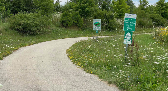
Lake County Multi-Use Bike Path / Robert McClory Bike Path
PROJECT OVERVIEW
About This Project
Accurate Group, Inc. (AGI) undertook several critical tasks to support the project along Bethlehem Avenue, ensuring that all property boundaries, right-of-way lines, and legal records were thoroughly verified and accurately documented. The following activities highlight AGI’s methodical approach to surveying and land record verification:
Key Activities Performed by AGI:
- Document Collection from Lake County: AGI began the project by gathering essential legal documents and records from the Lake County offices. This included obtaining property deeds, plats, and previous survey data that were instrumental in ensuring the accuracy and legal compliance of the project’s survey work. These records formed the foundation for the surveying and boundary verification efforts.
- Acquisition of the SIDWELL Parcel Mapping System: AGI secured the SIDWELL system, a comprehensive parcel mapping tool used by many municipalities and counties. This system provides detailed parcel information, including property boundaries, ownership details, and historical land use. With this data in hand, AGI could confidently cross-reference property lines and verify the accuracy of current records before beginning fieldwork.
- Excavation and Exposure of Existing Property Corners: To verify and validate property boundaries, AGI conducted on-site excavation to expose existing property corners that were buried or obscured. These physical markers were critical in confirming the precise location of property lines. Additionally, AGI performed detailed surveys of property line turn angles, using advanced survey instruments to ensure that the property lines matched historical records and legal descriptions.
- Verification of Property Records: Once the property corners were exposed and the property lines surveyed, AGI meticulously compared the field data with existing property records. This step was vital to confirming that the property boundaries were accurate and consistent with legal descriptions. Any discrepancies between the current field conditions and recorded property boundaries were addressed and corrected.
- Establishment of Right-of-Way (ROW) Line on Bethlehem Avenue: AGI played a crucial role in establishing the existing right-of-way (ROW) line along Bethlehem Avenue. This involved accurately marking the ROW boundaries based on legal documents, historical survey data, and the fieldwork conducted by AGI. The precise delineation of the ROW was essential for defining public versus private land and ensuring that any future development or infrastructure work remained within legally designated boundaries.
Summary
AGI’s expertise in both document analysis and precise fieldwork allowed them to provide an accurate and reliable survey of the project area along Bethlehem Avenue. By combining thorough research with meticulous excavation and surveying techniques, AGI ensured that property boundaries and right-of-way lines were correctly established and legally sound, providing a solid foundation for further development or land use planning.
PROJECT IMPACT
Key Outcomes
Verified property boundaries and right-of-way lines along Bethlehem Avenue
Collected essential legal documents and records from Lake County offices
Utilized the SIDWELL Parcel Mapping System for property cross-referencing
Excavated and confirmed existing property corners through fieldwork
Compared field data with legal records, correcting any discrepancies
Established the right-of-way line supporting future infrastructure work
Ensured legally sound boundaries for public versus private land
Delivered a solid foundation for land use planning and development
Project Information
Client
Lake County Division of Transportation (Sub to AMEC Foster Wheeler)
Location
Lake County, IL
Project Type
Boundary & Right-of-Way Verification Survey
Completion
Survey Completed 2015