Surveying

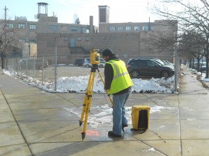
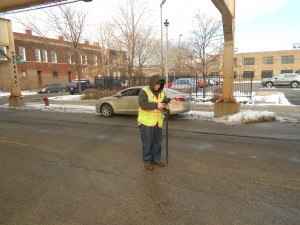
Our field survey crews are each headed by a party Chief with over ten years of experience and are supported by and office staff, headed by a Licensed Professional Land Surveyor. Our surveyors attend continuing education seminars to keep abreast of the latest survey techniques. Our staff is trained and proficient in current technology such as GPS and 3-D Scanning and utilizes the latest CAD systems and design software, such as Microstation V8i, GeoPak 2009 Select Series 2 and AutoCAD 2013.
With the combination of competitive technology, professional survey expertise, and focus on efficiency and accuracy, Accurate Group has the ability, knowledge, teamwork, and determination to bring recognizable value in surveying to our clients.

- Boundary Surveys
- GPS Services
- Plat Maps
- ALTA Surveys
- Utility Surveys
- Topographic Surveys
- Rights-Of-Way Delineation
- Easements Documents
- Legal Descriptions
- Subdivision Maps
- FEMA Elevation Certifications
- Property Research and Line Adjustments
- Mortgage Surveys
- Property Line Disputes and Expert Witness Testimony
- Construction Control and Staking
- Lot Line Adjustments


